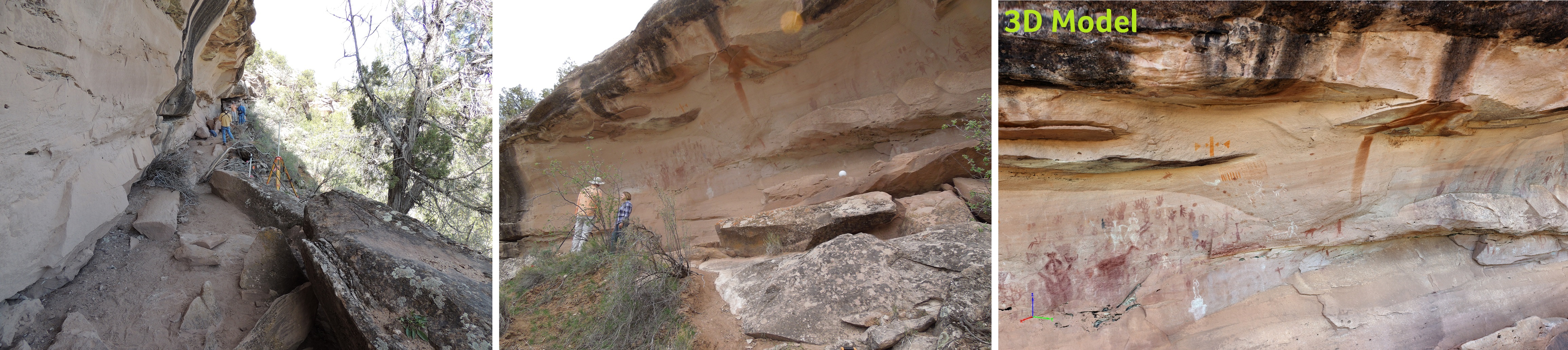
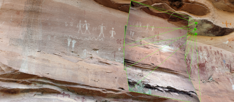
As a major history and archaeology enthusiast, I’ve blogged previously about my fascination with the drone industry applied to the above mentioned fields of study. We’ve seen drones utilized to protect the boundaries of archaeological sites, we’ve seen drones document monuments, map out difficult to reach areas, and even provide a glimpse in to un-scalable terrains.
Pix4D, the worlds leading software for mapping and 3d image development, specifically with footage captured by UAVs or drones, has played a large part in the utilization of drones with the fields of archaeology and it’s related studies. Currently, Pix4D is now applying its software to map cave and rock mural paintings, ancient to our civilization, painted by the ancient Puebolans in the mountains of Utah USA. There is a well documented concern that these types of rock painting murals will succumb to nature and not longer be visible in the near future. So as a preventative measure to endure the integrity of this piece of history, Brigham Young University has successfully documented and accurately mapped out the drawings, on the rock, with 3d imaging by utilizing Pix4D technology, to continue studying and preserving the historical find.
Big thanks to Pix4D for their continued innovation and contribution.
Here is a link to the direct blog of Pix4D which covers the archaeological project in Utah in depth and here is a link directly to the Pix4D website if you’re interested in their mapping and 3d imaging products.
Safe and happy flying!
Darren